![]()
![]()
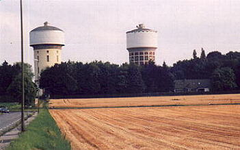
A well-known site to Hammers are the Berge Water Towers. These two towers are serving as a water reservoir for the city. The Municipal Water Works are on the river Ruhr, about 10 miles south of Hamm. Berge is a hilly part of Hamm, just about two miles away from downtown.
 |
The Berge Water Towers (reservoir), illuminated at night times, overlooking the metro area. They are widely to be seen, even from the autobahn (freeway) A2 in the south. |
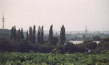
| The next photo is meant to give you an idea of the view back over your shoulder from this position, in the direction of St. Paul's Cathedral. |  |
![]()
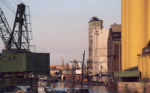
Descending from the low slope to the river Lippe and the Datteln-Hamm Canal, we're going to take a look at Hamm's canal port.
 |
connecting Hamm to the North Sea via the river Rhine and via other canals, even to the Black Sea via the Rhine-Main-Danube Canal and the river Danube itself. - The yellow tubes are part of the Brölio oil refinery. |
![]()
Because of its
geographical position, on the eastern rim of the Ruhr basin,
there's a lot of coal in the ground. Besides of the drowned
Maximilian mine, there have been three more coal mines in the
Hamm area, only one of them still working. The coal is down,
about 1,300 yards below the surface, and it costs real
much money to get it out. Thus mining in Germany is declining
steadily, and might have completely disappeared in a couple of
years.
 |
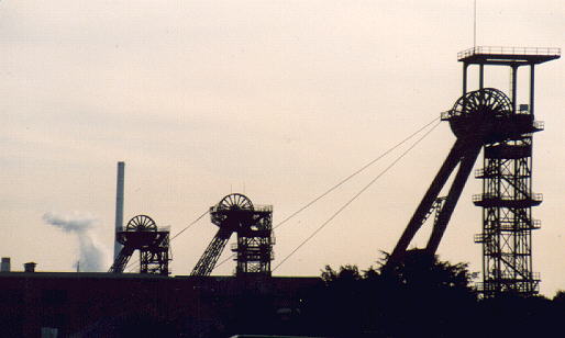
This view of the Radbod coal mine gives you an impression of the look of a mining site. Radbod closed its facility in the eighties. |
![]()